By “The 59 King” (Curator, The Big Map Blog)
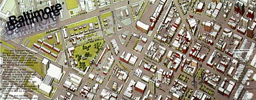
The map was prepared by the Baltimore Department of Planning in 1977 and depicts a pseudo-isometric illustration of dowtown. The image is freely downloadable by anyone at its highest resolution [6,197px × 9,999px].
View the ZOOMABLE map at The Big Map Blog.

